
Gruinard River - North
This is a huge & complex multi-period farming landscape, ranging from BA/IA features to pre-crofting structures and also a later sheep farm at Craigour (A’ Chreag Odhar).
For reference purposes, this large area has been divided into sectors.
Click on the name to view details.
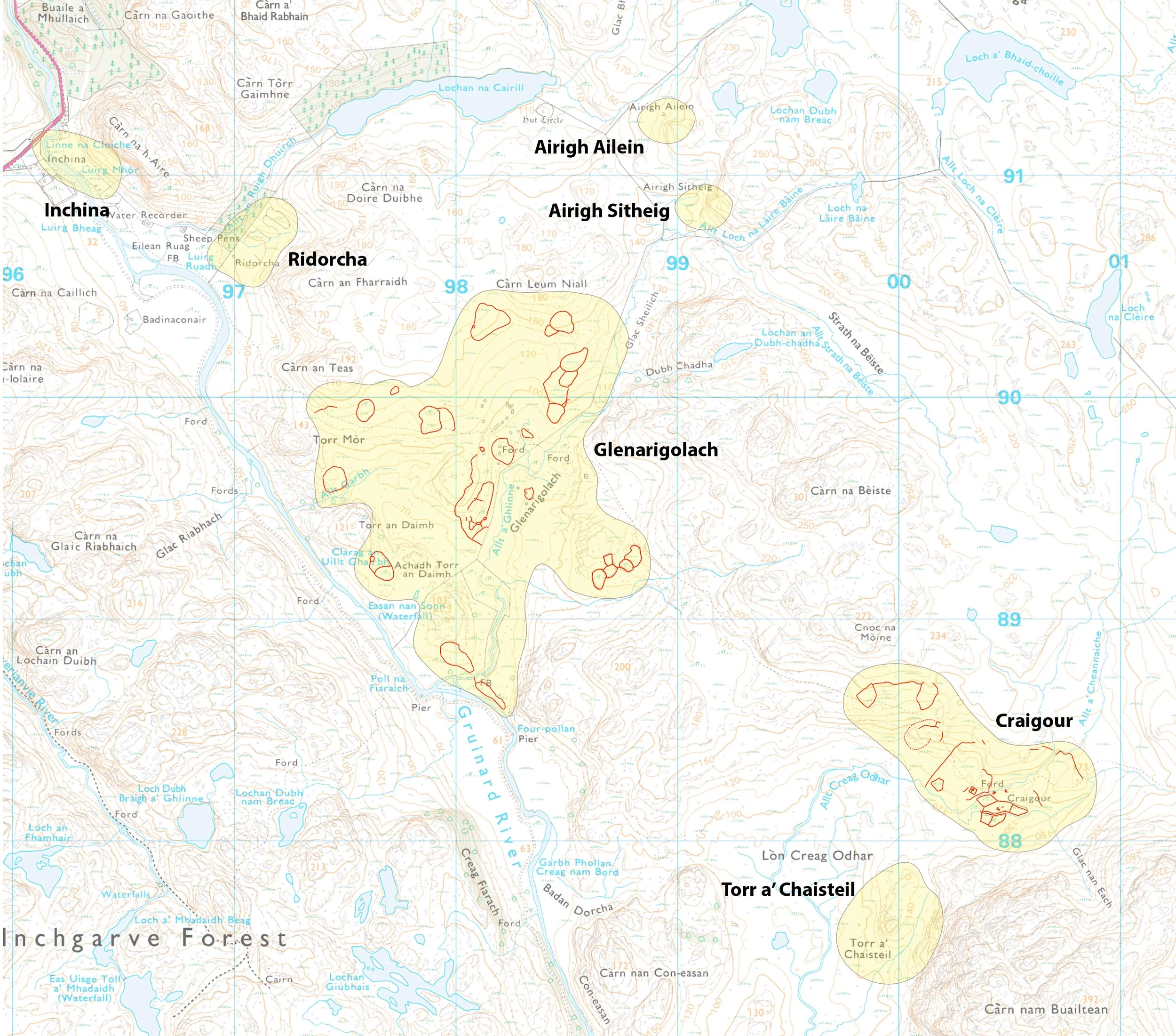
Only Glenarigolach and Craigour have features shown on this map.