project ref : 014
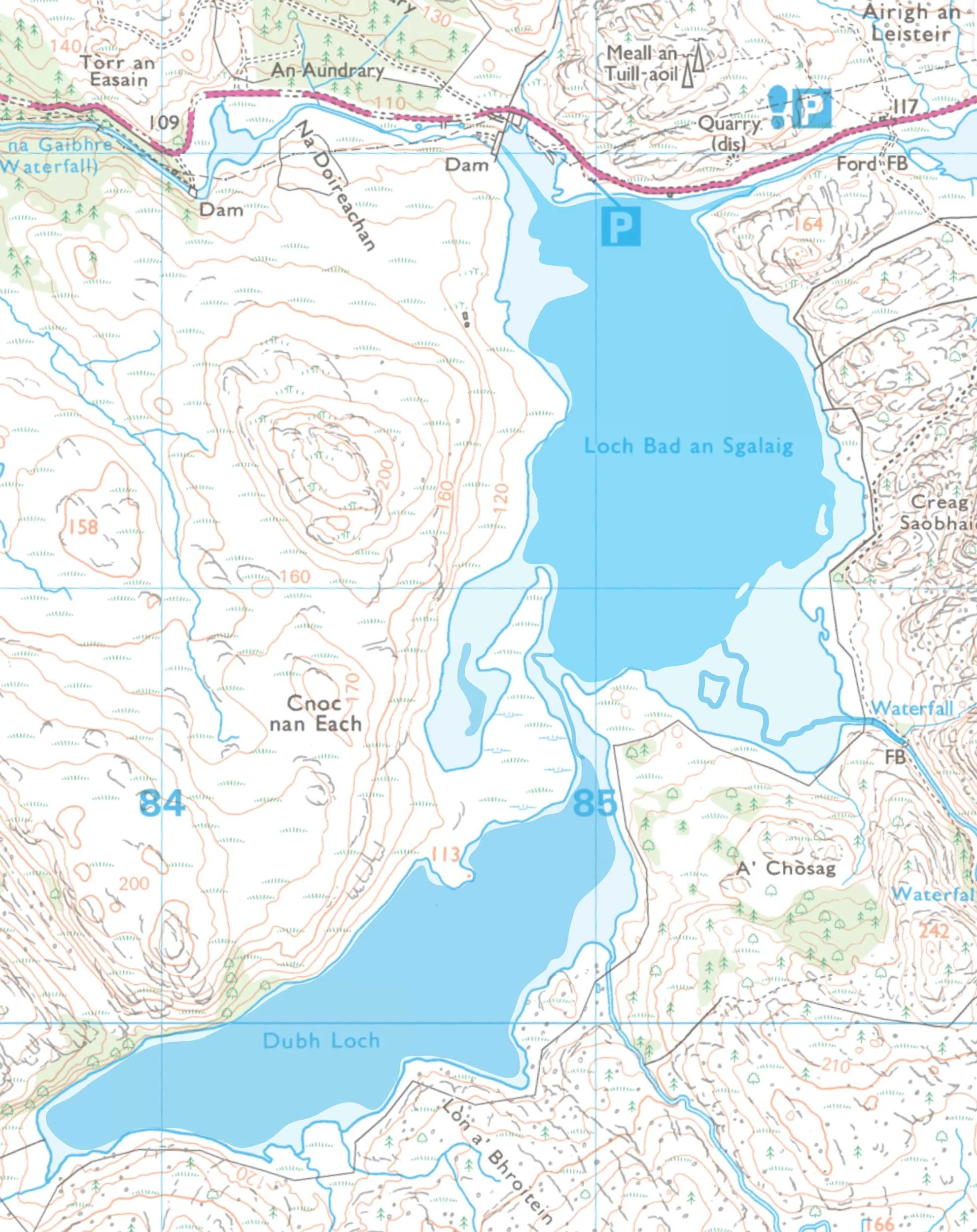
location : River Kerry (south of the river & west of Loch Bad an Sgalaig
grid ref : 8 locations (Na Doireachan NG 8434 7197)
category : shieling + prehistoric roundhouse
features : roundhouse, shieling, shieling huts, field system, enclosure, walls, dykes
A complex shieling with a network of walls separating numerous fields. Some of the walls are massive dykes of stone with turf laid on top.
Most of the features are completely smothered in deep heather & bracken, making it very difficult to survey the site accurately.
A relatively modern house and separate barn is situated near Loch Bad an Sgalaig.
Na Doireachan
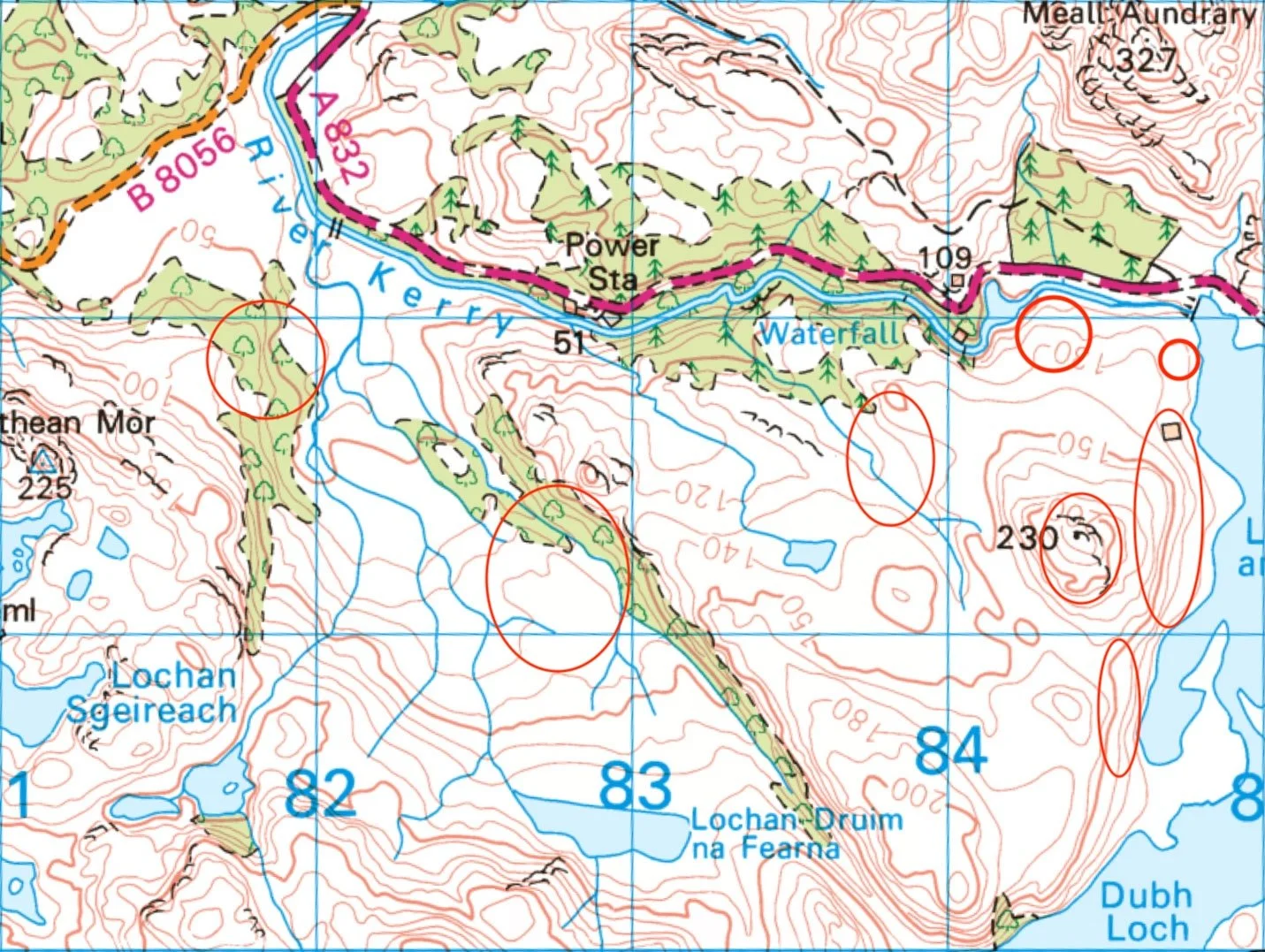
There are 8 sites south of the River Kerry, but at the moment only 3 have been surveyed so far - a shieling, a separate enclosure and a relatively modern building with separate barn (the house is not on the 1875 OS map, but appears on the 1902 OS map).
It is difficult to date the shieling. Parts of it are very old and probably have been re-used & redesigned prehistoric fields associated with the roundhouse. Over the centuries it has grown organically, with sections added & altered for various functions by successive communities. There is evidence of cultivation in the form of lazy beds. Some of the massive field walls have survived to over 1 m in height and are solidly constructed with boulders overlain with turf.
There has been no livestock grazing this area for many years, so the heather is waist deep and it is a real challenge walking over the uneven ground. It is very easy to walk over features without being aware of them, so detailed aerial photography plays an important role in mapping these sites.
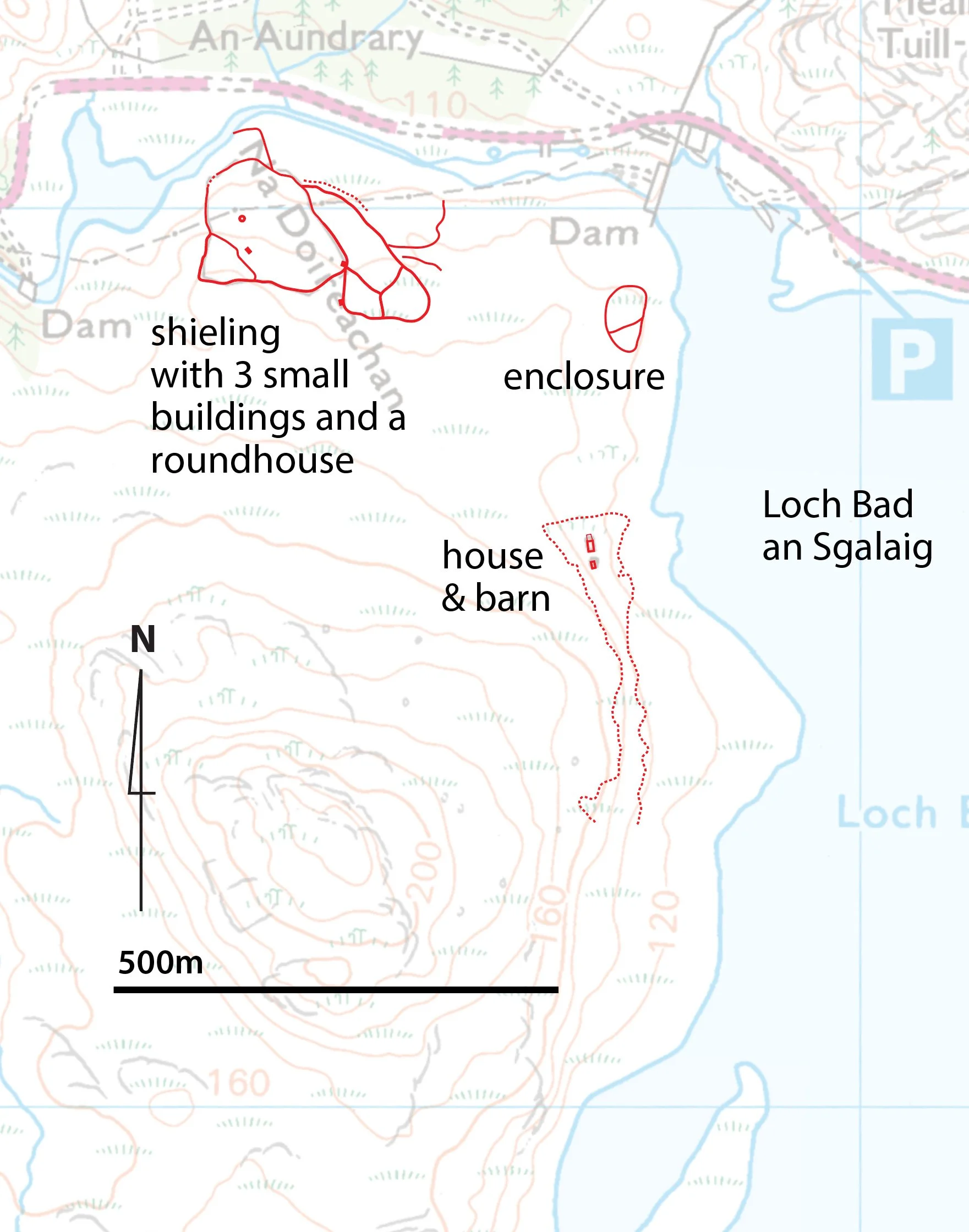

The house and outhouse/barn were built between 1875 and 1902.

The map below shows the water level before the dam was constructed in 1952. More land was available below the house. Notice that the two lochs were originally completely separate, with a small river joining them.