
project ref : 003
location : River Sand, Big Sand, Gairloch
grid ref : centred on NG 780 805
category : multi-period complex site
features : roundhouses, field systems, fanks, walls & dykes
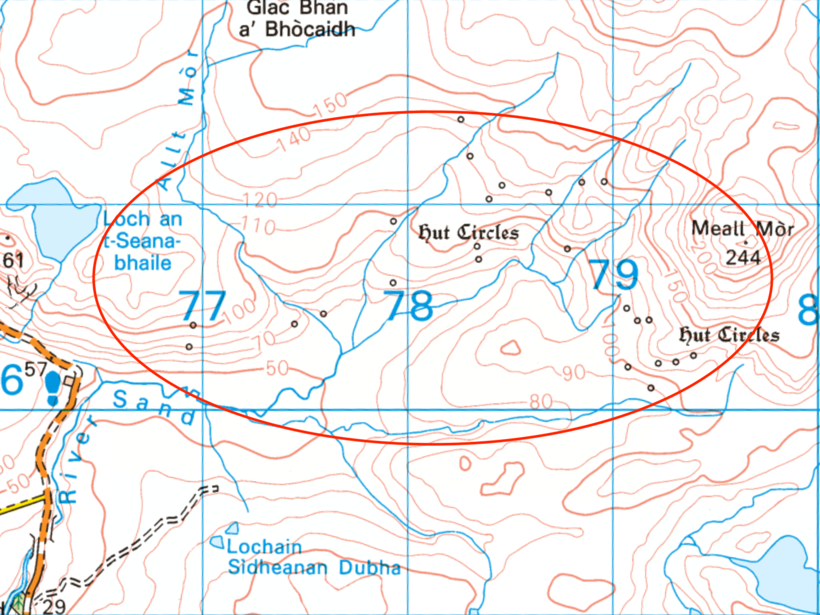
This extends from the old school at Big Sand, for 3km east to the slopes of Meall Mòr. This is a vast multi-period landscape with many structures continually reused and redesigned by successive communities for their own use.
Complex : a group or system of different things that are linked in a close or complicated way; a network consisting of many different & connecting parts.
River Sand Complex

This map shows the Complex (divided into sectors for reference purposes only).
The map below (surveyed 22nd Apr 2023) shows details of sector C (showing features C-01 to C-10).
There has been recent muirburn in this area, exposing more features. The features (in red) have been mapped using drone photography and GPS measurement. Notice that there is some inaccuracy in the OS map data, and notably, the fence is several metres out!


When OS detail is removed, the amazing network of field boundaries in this farming landscape becomes more evident.
Most of the circular structures on the map are BA/IA roundhouses which have been rearranged/redesigned for use by later farming communities.

Maps and aerial photos of this area can give a false impression of the terrain. Most of the features are located on south-facing, fairly well-drained, sloping hillsides. The 3D image above gives a better indication of the grass & heather-clad landscape.

feature C-03 (see ref maps above) is a sheep fank, possibly constructed from the stones of a substantial roundhouse. All that remains of the roundhouse is a large, circular earth embankment with a detached section.

feature C-05 (see ref maps above) is an enclosure with an additional small annex and two structures built within the remains of a stone & turf boundary wall. The boundary wall has been constructed in such a way that a small burn is allowed to flow through part of it. The SW structure is of a fairly crude design, situated on a raised circular platform. It has possibly been constructed within a roundhouse, using the stones from it. The footings of the NE structure are more rectangular, with several compartments. There is evidence of cultivation strips within the enclosure.